Avery Patterson · 23 October 2026
Poland's Subtle Geological Activity and Its Influence on Ecosystems and Hydrology
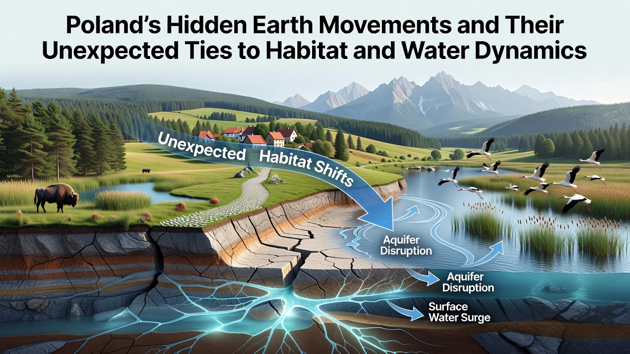
Poland experiences ongoing minor geological movements that reshape subsurface structures over time, and researchers track these changes through satellite data along with ground sensors deployed across various regions. These movements include slow subsidence in mining areas of Upper Silesia, gradual uplift in the Carpathian foothills, and localized shifts tied to karst dissolution in limestone zones, while studies released in October 2026 from the Polish Geological Institute highlight how such activity alters water pathways and soil stability in measurable ways. Data collected between 2020 and 2026 shows average subsidence rates of 2 to 5 millimeters per year in parts of the Silesian coal basin, and this gradual sinking modifies drainage patterns that feed into local streams and aquifers.
Habitats respond to these changes because altered water tables affect vegetation types and animal migration routes, whereas wetlands in the Biebrza Valley have seen shifts in plant distribution linked to minor elevation changes recorded by GPS networks. Experts note that when ground settles unevenly, surface water pools in new depressions or drains faster into fissures, which in turn influences nutrient distribution and oxygen levels in soils. One long-term monitoring project near the Oder River documented how a series of small fault adjustments redirected groundwater flow toward previously drier meadows, leading to expanded reed beds that support different bird species than before.
Connections Between Ground Motion and Water Flow Patterns
Ground movements interact with Poland's river systems and groundwater reserves through several mechanisms, and seismic networks operated by the Institute of Geophysics detect low-magnitude events that coincide with changes in aquifer pressure. In regions where mining-induced tremors occur, researchers have measured temporary increases in river turbidity after events because loosened sediments enter channels more readily, while continuous monitoring since 2018 reveals that these pulses affect fish spawning grounds downstream for weeks at a time. The Vistula basin exhibits similar patterns on a smaller scale, with data indicating that subtle vertical displacements along buried faults modify how contaminants move through alluvial deposits.
Hydrological models updated in 2025 incorporate these movement parameters and demonstrate that even millimeter-scale shifts can redirect subsurface water over distances of several kilometers when combined with seasonal rainfall variations. European Environment Agency reports on Central European hydrology reference comparable observations from neighboring countries, confirming that integrated monitoring improves predictions of flood risk and drought impacts in dynamic landscapes. European Environment Agency reports provide additional context on how geological factors contribute to water quality trends across the region.
Impacts on Habitats and Biodiversity
Terrestrial and aquatic habitats adjust as earth movements modify moisture availability and soil composition, and field surveys in the Sudetes Mountains show that rising slopes in certain valleys have created new seepages that support rare moss communities absent from older records. These microhabitats emerge where fractures allow deeper water to reach the surface, and biologists document increased invertebrate diversity in such spots compared with stable surrounding areas. In October 2026 updates from regional environmental agencies, officials noted expanded populations of amphibians in zones where recent ground adjustments improved breeding pool formation during spring thaws.
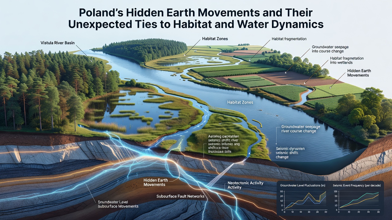
Forest edges experience parallel effects because root systems encounter shifting water tables that either stress trees or encourage growth depending on the direction of movement, whereas data from permanent plots maintained by Warsaw University of Life Sciences indicate measurable differences in tree ring widths correlating with documented subsidence episodes. Pollinator communities also respond indirectly when flowering plant timing changes due to altered soil conditions, and long-term observations link these patterns to broader food web adjustments that include small mammal populations.
Monitoring Technologies and Future Data Collection
Advanced tools such as InSAR satellite interferometry and dense seismic arrays now allow continuous tracking of movements that once went unnoticed, and Polish institutions collaborate with international partners to refine these methods for early detection of habitat stress signals. The October 2026 dataset incorporated readings from over 150 new sensors installed along major river corridors, revealing previously undetected connections between distant fault segments and local spring discharges. US Geological Survey programs offer parallel methodologies applied in similar geological settings worldwide, supporting cross-validation of Polish findings.
Integration of climate data with geological records helps separate natural variability from movement-driven changes, while predictive models forecast that ongoing subsidence in industrial zones may intensify water management challenges in agricultural districts by 2035 if current rates persist. Observers emphasize that coordinated monitoring across borders improves accuracy because many river basins and fault systems extend beyond Poland's boundaries.
Conclusion
Poland's hidden earth movements continue to shape water dynamics and habitat conditions through gradual processes that monitoring networks now capture in detail, and ongoing research provides clearer pictures of these interactions across multiple scales. Data gathered through 2026 underscores the value of sustained observation programs that connect geological records with ecological and hydrological outcomes, enabling more precise planning for environmental management in affected regions.